


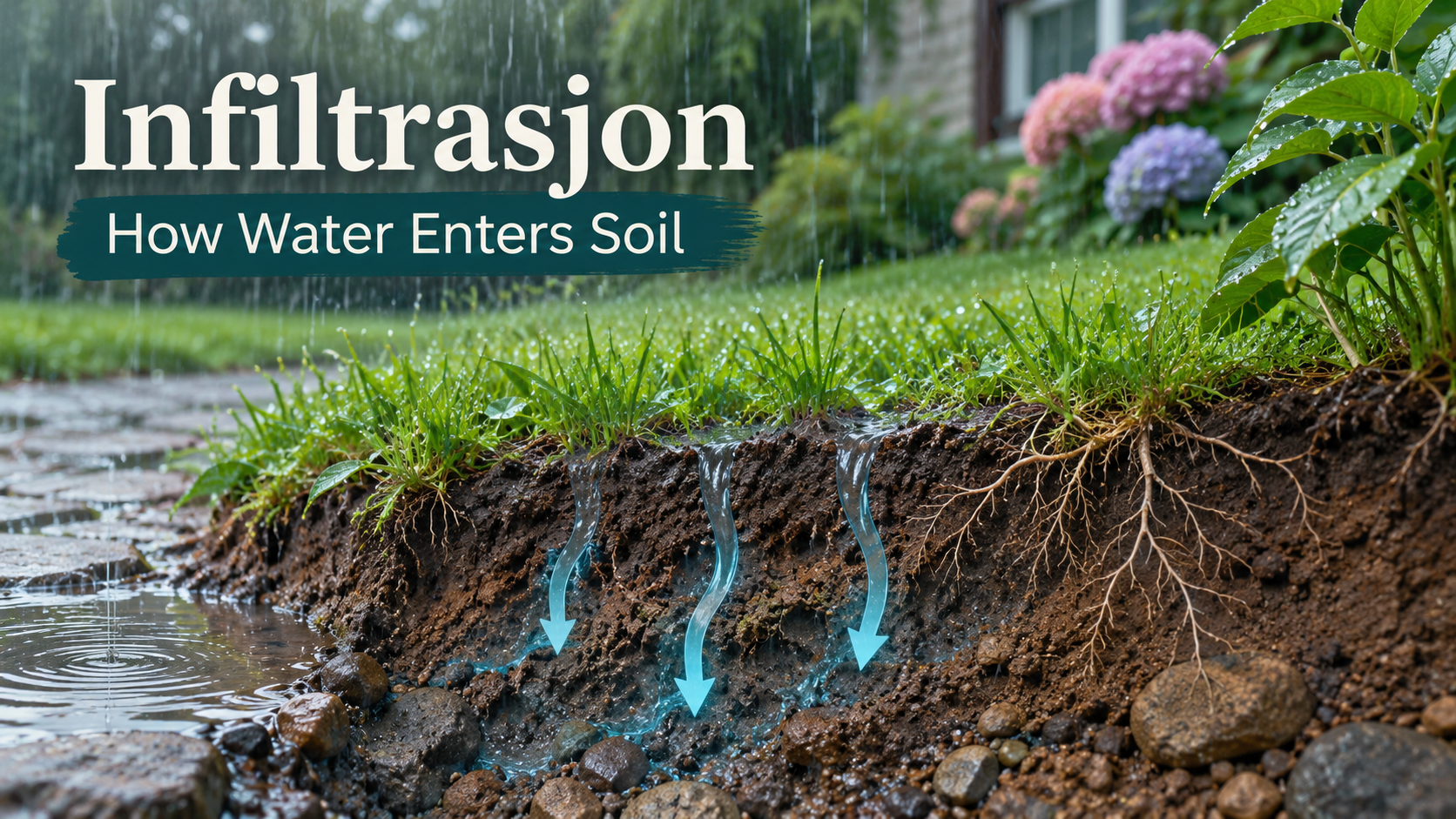
Infiltrasjon is the Norwegian term for infiltration. In hydrology, it means water entering the ground from the surface. The process connects rainfall, soil moisture, groundwater and runoff, and helps explain why the same storm can disappear into one garden while flooding another.
The word has other meanings in political and medical contexts, so the surrounding subject matters. This guide focuses on water and soil, the meaning used in Norwegian drainage and environmental material. Understanding the process is useful when reading a property report, studying the water cycle or discussing a rain garden with a professional.
What Infiltrasjon Means in Hydrology
Store norske leksikon defines hydrological infiltrasjon as water entering the ground from the surface. It is a movement across the soil surface, rather than a guarantee that the water immediately reaches a deep aquifer. Some water remains available to roots, while some may continue farther down.
In everyday terms, imagine rain falling onto an exposed patch of soil. Water reaches openings between particles and may move into them. The speed and eventual destination depend on the soil structure, existing moisture and conditions below the surface. A patch looking dry or green does not establish its drainage capacity.
The distinction helps avoid a common misunderstanding: infiltration and storage are related but different. Soil can admit water and then hold some of it temporarily. It can also admit water at the surface while a less permeable layer below slows further movement.
Norwegian reports may also use overvann for surface runoff and grunnvann for groundwater; these terms describe different parts of the same water system.
Infiltration, Runoff and Groundwater Recharge
The US Geological Survey’s water-cycle explanation describes infiltration as part of the route by which precipitation enters soil and rock. Water may stay relatively shallow, move sideways or travel deeper. The pathway is not identical everywhere.
Runoff is water travelling over the surface instead. The USGS surface-runoff guide explains why that moving water matters beyond the immediate puddle: it can carry sediment and other material into waterways. A drainage decision therefore concerns both the volume of water and what it transports.
Recharge describes water reaching and replenishing groundwater. The USGS overview of aquifers distinguishes the unsaturated zone above the water table from the saturated material below it. Water entering soil does not necessarily become a usable groundwater supply straight away.
Why Rainfall Intensity Changes the Outcome
Norway’s water and energy authority, NVE, explains that surface water can develop when rainfall exceeds infiltration capacity. The ground may also already be saturated or frozen, or the rain may fall on an impermeable surface. These are different explanations for a similar visible result.
A short intense shower can deliver water faster than a surface can absorb it, even if the same total rainfall spread over several hours would create less runoff. Looking only at a daily rainfall total can therefore hide the conditions that caused a local problem.
Snowmelt adds another timing issue. Water can arrive at the surface while the ground remains frozen or already wet. In a cold-weather setting, a drainage description based only on a warm summer observation may fail to represent the more difficult season.
Soil Structure and Compaction
Soil is not simply a solid block beneath the lawn. Pores and the connections between them influence how water moves. The USDA Natural Resources Conservation Service’s infiltration guide explains how surface crusting, organic matter, aggregation and equipment traffic affect the process.
Compaction reduces pore space. The agency’s urban soil technical note identifies vehicles and concentrated foot traffic as relevant pressures, particularly on wet ground. A lawn beside a heavily used access route may consequently behave differently from a nearby undisturbed area with similar soil material.
That does not mean every slow-draining patch needs the same treatment. A compacted surface, a restrictive subsurface layer and a high water table are different conditions. Breaking up the top few centimetres does not establish that deeper water has somewhere suitable to go.
What Buildings and Paving Change
Roofs, asphalt and many paved surfaces limit direct entry into soil. The USGS guide to impervious surfaces and flooding explains that development can reduce infiltration areas and move water into drainage systems more quickly.
The location of an outlet matters as much as the area covered. A roof may collect rainfall across a substantial surface and discharge it through one downpipe. The receiving patch then handles concentrated water rather than only the rain falling directly on it. An otherwise ordinary lawn is not automatically designed for that extra load.
This is why drainage discussions should include where water comes from, where it travels and where it leaves the site. Moving a puddle away from one doorway is not a complete solution if the change sends water towards another building, a neighbour or an unsuitable slope.
Rain Gardens and Other Infiltration Features
Rain gardens are planted depressions used in some stormwater systems. The US Environmental Protection Agency’s bioretention guidance describes designs that temporarily collect and treat stormwater. Their construction and drainage arrangements vary; a planted hollow is not automatically a properly designed treatment system.
Suitability depends on the site. A designer needs to consider permeability, groundwater, incoming water, overflow arrangements and the surrounding built environment. Where infiltration is unsuitable, a system may need a different outlet or treatment approach rather than a deeper hole.
NVE’s stormwater guidance places infiltration alongside temporary detention and safe conveyance. These functions complement each other. A plan can allow ordinary rainfall to enter the ground while also providing a controlled route for water that exceeds the system’s capacity.
What a Simple Observation Can and Cannot Tell You
Watching where puddles form after rain is useful preliminary information. Record the location, recent weather and how long the water remains. Photographs taken from the same position can make a later discussion with a contractor or drainage professional more concrete.
An informal observation does not establish a design infiltration rate. Conditions change with season, prior rain, soil disturbance and the depth being considered. The NRCS soil-health assessment overview treats infiltration as one physical indicator among several, rather than a complete diagnosis on its own.
For proposed construction, persistent flooding or a system near a building, obtain a site-specific assessment. This guide explains terminology; it does not specify a safe foundation setback, excavation depth or drainage design for an unseen property.
Frequently Asked Questions
Is infiltrasjon the same as infiltration?
Yes, in the hydrological context it is the Norwegian term for water entering the ground. The word also appears in other disciplines, so read the surrounding material.
Does all infiltrated water become groundwater?
No. Some remains in the shallow soil, supports plants or returns to the atmosphere. Groundwater recharge concerns the portion that reaches the saturated groundwater system.
Why can a green lawn still flood?
Vegetation does not prove adequate drainage capacity. Compaction, saturation, restrictive layers or rainfall arriving too quickly can still cause ponding and runoff.
Can infiltration prevent every flood?
No. Stormwater planning also needs to consider storage, overflow and safe conveyance. An infiltration feature has limits and cannot guarantee protection during every event.
Is a home water-soaking test enough for a building project?
An informal test can provide observations, but it is not a substitute for the assessment required by a particular design or local approval process. Ask what testing standard and site conditions apply.
